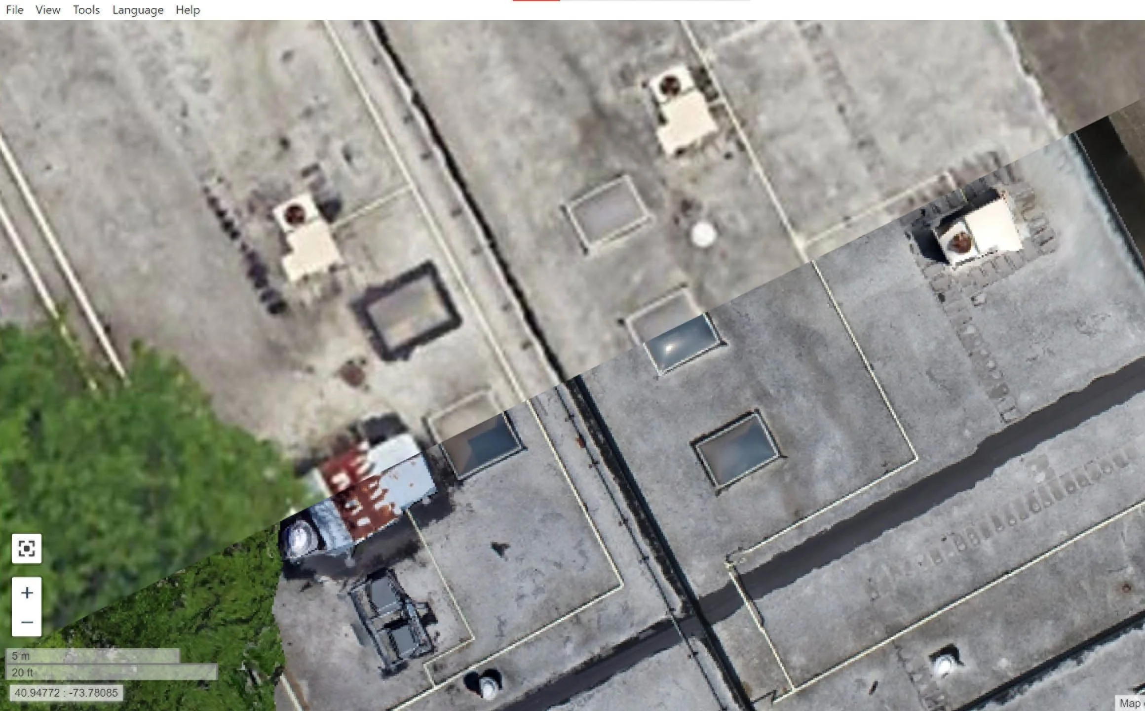
Higher detail than satellite imagery
We can provide much higher resolution images allowing for the inspection of multiple areas with a single photo.
With increased resolution comes increased accuracy. Our software can take accurate measurements from the data to suit your needs.
Satellite images are often out of date. Our images capture all the most recent changes.


Construction progress updates
Aerial mapping is the best way to monitor the progress of your project. Our drones can fly the same exact route at regular intervals. The photos/video can then be combined to give you unparalleled visibility ensuring the project is going to plan and staying on schedule.
3D Modeling Saves You Time & Money
There is some data that 2D images just cannot convey. When you need to evaluate the terrain or you’re inspecting existing structures there’s no substitute for creating a digital twin. When you consider the disruptions that a site inspection can have, a 3D model can help identify existing and potential hazards in a fraction of the time.